Mobile, Alabama area photos
An oil drilling platform originally located 12 miles off the Louisiana coast broke loose during Hurricane Katrina and was carried more than 60 miles and ultimately beached at Dauphin Island, a barrier island located near Mobile, AL. These are photos that I collected off the Internet or scanned from the newspaper.

 Harbor Landing Apartments on Dog River, AL:
 Dog River, Mobile, AL:


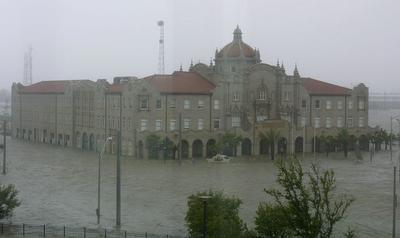 Post Office in downtown Mobile, AL:


The storm surge (definition) in Mobile Bay from Hurricane Katrina was the largest ever recorded. Buildings and roads, etc., near the water received a great deal of damage.
Roads & buildings on Mobile Bay:


Roads & buildings on Mobile Bay:


Airlifted patients arriving at Mobile Infirmary Hospital after transfer from hospitals in Mississippi and/or Louisiana:
Williamson High School:


Below is the Waterhole Bar on the Causeway that crosses Mobile Bay. If you look at this PHOTO of the Causeway, you'll see why it floods very easily!


Blue Gill Restaurant on the Causeway:

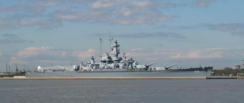
U.S.S. ALABAMA MEMORIAL PARK
http://www.ussalabama.com/index.php
The U.S.S. Alabama Battleship (photo) is 680 feet long and weighs 80 million pounds -- and it sits securely in mud. Yet the storm surge and wave action of Hurricane Katrina rocked the ship and moved the bow about three feet further away from land. The whole ship is now listing about 8 degrees.
U.S.S. Alabama Battleship Park aircraft pavilion: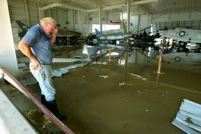


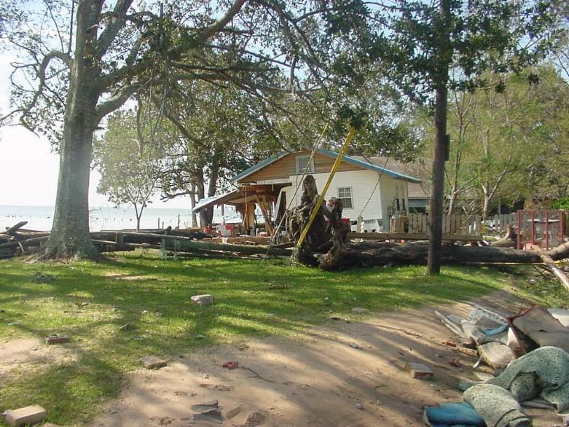
The Dog River (location of Dog River) flooding:
 Harbor Landing Apartments on Dog River, AL:
 Dog River, Mobile, AL:
Marina on Dog River:
Downtown Mobile, AL flooding:

Downtown Mobile, AL flooding:


 Post Office in downtown Mobile, AL:
posted by LT at 7:45 AM
![]()


0 Comments:
Post a Comment
<< Home